Why in news?
To understand the new reality of these immense expanses of heat, a consultation with two dozen climate researchers and an analysis of temperatures worldwide for every hour since 1960 has yielded a new concept – heat storm.
What are ‘Heat Storms’?
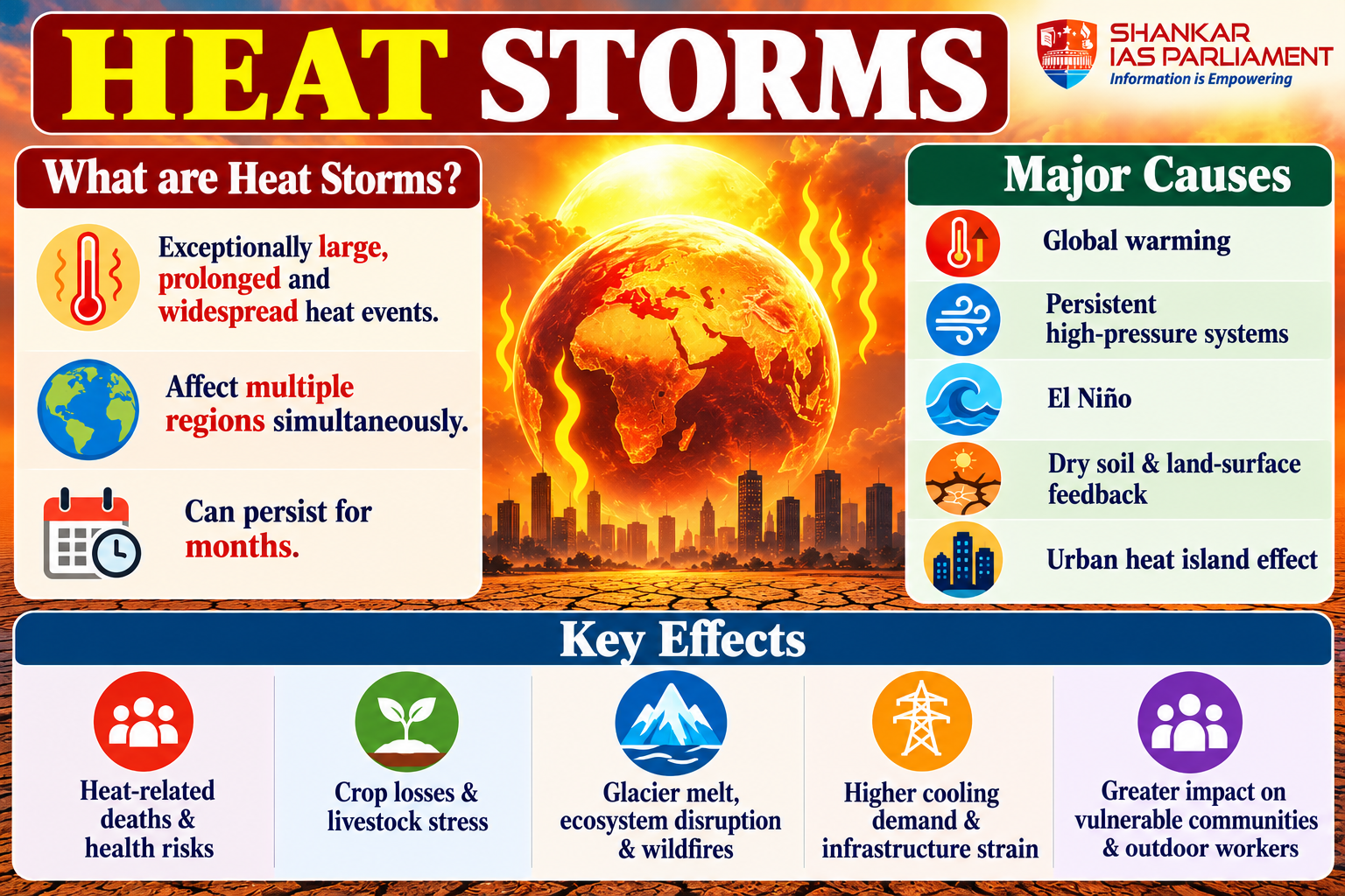
- Heat storm – It is a proposed concept describing exceptionally large, prolonged and widespread heat events that affect multiple regions simultaneously exceeding the scale of conventional heatwaves.
- Heat cascade – A sequence of heat storms occurring one after another, simultaneously or in overlapping periods.
- Emerging trend – The duration of such widespread heat events reportedly increased from around two months in the 1960s to nine months in the early 2000s.
- Record event – ‘Vera’, reported as the largest heat storm, lasted 367 days during 2023–24 and affected nearly 85% of the globe.
- Note – “Heat storm” is a proposed descriptive concept, not yet a universally standardised meteorological classification.
What are the geographical characteristics of heat storms?
- Large spatial extent – They can span multiple continents and extend into polar-regions.
- Long duration – Heat events can persist or recur over months, creating prolonged thermal stress.
- Increasing frequency – Reuters’ analysis found an increase from around five heat storms annually in the 1960s to about 102 annually in the current decade.
- Heat cascades – Successive or overlapping events can expose different regions to extreme heat for extended periods.
What are the major geographical causes?
- Global warming – Greenhouse gas emissions raise average temperatures and intensify extreme heat.
- Atmospheric circulation – Persistent high-pressure systems can suppress cloud formation and rainfall, allowing heat to accumulate.
- El Nino – Periodic ocean–atmosphere warming can raise global temperatures and intensify heat extremes.
- Land-surface feedback – Dry soils reduce evaporative cooling, increasing surface temperatures.
- Urban heat island effect – Built-up surfaces, concrete and reduced vegetation amplify heat exposure in cities.
What are the geographical impacts of heat storms?
- Human geography – Heat-related deaths, occupational stress, pressure on healthcare and reduced labour productivity.
- Agricultural geography – Crop losses, soil-moisture depletion, livestock stress and rising irrigation demand.
- Physical geography – Glacier melt, ecosystem disruption, wildfires and increased water stress.
- Economic geography – Higher cooling demand, electricity shortages and damage to infrastructure.
- Regional inequality – Poorer communities, outdoor workers and water-stressed regions face greater vulnerability.
What is their significance for India?
- Heat-prone regions – North-western and central India, the Indo-Gangetic Plain and several urban centres face significant heat risks.
- Agricultural vulnerability – Extreme heat can reduce wheat yields, affect crop growth and increase irrigation requirements.
- Urban vulnerability – Dense construction, limited green cover and high population density intensify heat exposure.
- Water and energy security – Higher evaporation and cooling demand increase pressure on water supplies and electricity systems.
What measures are needed?
- Strengthen heatwave forecasting and district-level early-warning systems.
- Expand Heat Action Plans, cool roofs, urban green spaces and heat-resilient infrastructure.
- Promote climate-resilient agriculture, efficient irrigation and drought preparedness.
- Improve worker protection, public drinking-water access and emergency healthcare.
- Reduce greenhouse gas emissions through clean energy and sustainable urban planning.
Conclusion
- Heat storms highlight the growing spatial scale, duration and interconnected impacts of extreme heat under climate change.
- From a geographical perspective, they demonstrate how global atmospheric processes interact with local land use, ecosystems and human vulnerability, making climate adaptation and resilient regional planning essential.
Reference
The Hindu| Heat storms