Prelims: Current events of national and international importance | International Relations
Why in News?
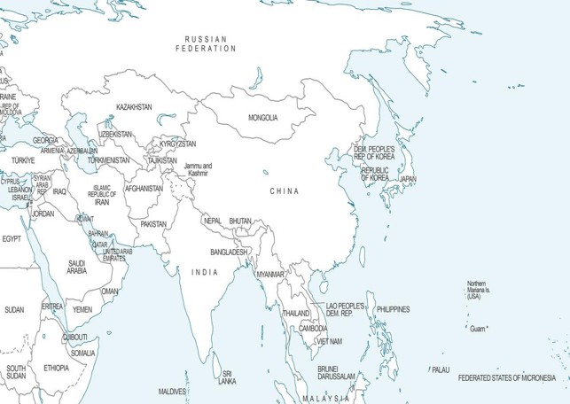
A new UN world map endorsed by the UN General Assembly (UNGA) depicts Arunachal Pradesh and Aksai Chin as territories situated between contesting Indian and Chinese claim lines.
Key Highlights of the UN Map Depictions
- Arunachal Pradesh
- Shows the state's northern border with Tibet (China) marked as the "Indian Line".
- Shows Arunachal's southern border with Assam as the "Chinese Line" while completely eliminating its state boundary with Nagaland.
- Aksai Chin
- Shows the eastern borders of the region marked as the "Indian Line".
- Shows the western borders as the "Chinese Line", separating Ladakh from Aksai Chin.
- Absence of Labels - Unlike the 2011 UN map, these demarcations are left "unspecified" on the July 2026 sheet without explicitly labeling them as "claim lines".
- Inclusion of J&K- Jammu & Kashmir is depicted with a dotted line indicating the Line of Control (LoC), which is accompanied by an explanatory note clarifying its political status.
- Omission of Notes for Arunachal & Aksai Chin- In contrast, no accompanying explanatory notes are provided for the claim lines drawn around Arunachal Pradesh or Aksai Chin.
- Kalapani Depiction - In contrast, the map reflects India's administrative control over the disputed Kalapani–Lipulekh–Limpiyadhura region (claimed by Nepal).
"Correct the Map" Resolution
- Origin - Initiated by Togo and supported by the African Union.
- The initiative aimed to adopt an Equal Earth cartographic projection to rectify geographical distortion and ensure accurate area representation for developing continents like Africa.
- UNGA Action - Passed in the UN General Assembly on September 4, 2026, utilizing a base draft authored by UN Geospatial on July 1, 2026.
- Legal Status - The map is non-binding on sovereign states, but it serves as a standard reference outline for multilateral agencies worldwide.
India's Official Stand
- Support for Principles - The Ministry of External Affairs (MEA) clarified that India voted in favor of the resolution based strictly on the underlying principle of promoting equal-area cartographic representation.
- No Endorsement of Boundaries - The MEA reiterated that voting for the resolution does not constitute an endorsement of any specific map, projection, or depiction of national boundaries.
- Firm Position on Territorial Integrity- The Government maintained that India's sovereign territory, including the
- Union Territories of Jammu & Kashmir and Ladakh, as well as
- Arunachal Pradesh, must be depicted per India's official map, declaring any inaccurate depiction unacceptable.
Reference
The Hindu | Arunachal, Aksai Chin as territories ‘unspecified’ claim lines



