Prelims: Current events of national and international importance | Geography
Why in News?
Indonesia’s Geological Agency (PVMBG) confirmed in early October 2026 that two new island-like landforms emerged in the waters around Mount Anak Krakatau in the Sunda Strait.
Key Geographical Observations
- Spatial Location - One offshore islet formed approximately 760 meters off the northwest coast of Anak Krakatau, while the second formed roughly 495 meters off the southeast coast.
- Eruption Dynamics - Preliminary analysis indicates that low-viscosity, fluid magma extruded from an elongated northwest–southeast seafloor fissure.
- The rapid accumulation of erupted volcanic debris, tephra, and lava mounds breached the water surface to form two distinct islets.
- Morphological Volatility- Geologists note that these new landmasses remain highly vulnerable to ocean wave erosion, marine currents, or future flank collapses, making their long-term permanence uncertain.
Historical Context
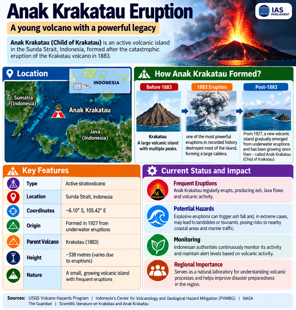
- Location - Situated in the Sunda Strait between Java and Sumatra, lying along the volatile subduction zone where the Indo-Australian Plate subducts beneath the Sunda/Eurasian Plate.
- Legacy of Krakatoa
- 1883 Cataclysm: The historic eruption of the original Krakatoa volcano collapsed the structure into a submerged caldera, triggering tsunamis and global climate cooling.
- 1927–1930 Emergence: Submarine eruptions gave birth to Anak Krakatau ("Child of Krakatoa"), which established permanent dry land by 1930.
- 2018 Flank Collapse: A massive underwater lateral collapse triggered a deadly Sunda Strait tsunami and reduced the island's height from ~338 meters to ~110 meters.
Reference
Business Standard | Anak Krakatau volcano



