0.1177
7667766266
x

Cyclone Warning and Marine Weather Services Decision Support System (DSS)

iasparliament Logo
October 20, 2026

Prelims: Current events of national and international importance | Geography

Why in News?

The India Meteorological Department (IMD) launched an interactive WebGIS-based Cyclone Warning and Marine Weather Services Decision Support System (DSS).
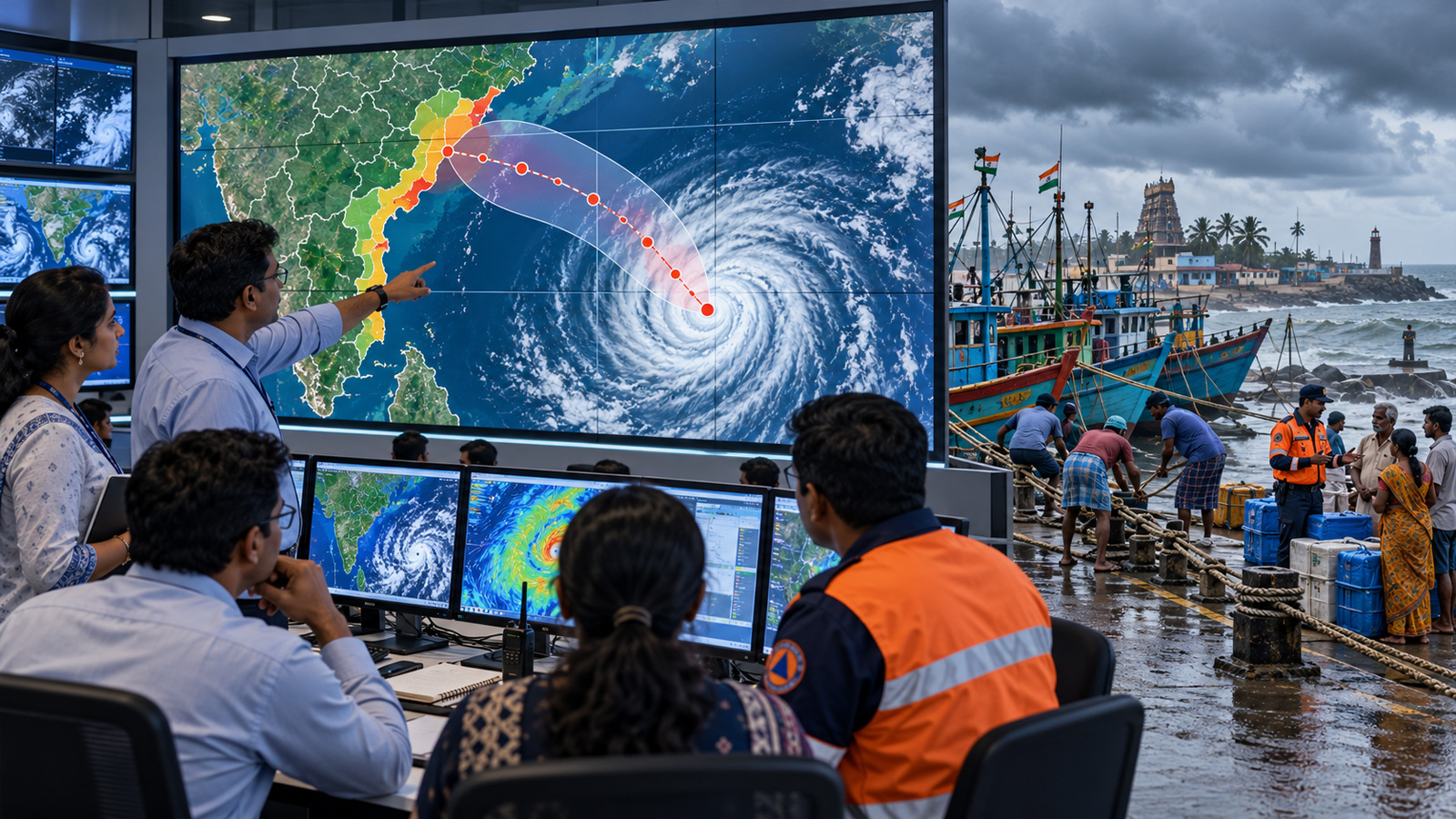
imd-weather-system.jpg

  • Launched on – 12th October 2026, during IMD’s pre-cyclone preparedness meeting for the post-monsoon cyclone season (October–December).
  • Cyclone

Cyclone

Year

Important fact

Phailin

2013

Very severe cyclonic storm that made landfall in Odisha

Hudhud

2014

Very severe cyclonic storm that made landfall near Visakhapatnam, Andhra Pradesh

Their anniversaries coincided with the DSS launch date, highlighting the importance of cyclone forecasting and preparedness.

  • Aim – To help disaster management authorities, government agencies and the public understand cyclone-related hazards and take timely action.
  • Accessible through – The websites of IMD and the Regional Specialised Meteorological Centre (RSMC).
  • Key Features
    • Interactive WebGIS maps – Presents cyclone-related information through maps and visualisations.
    • Cyclone track and intensity – Displays predicted cyclone paths and intensity forecasts.
    • Wind distribution – Provides information on wind patterns and potential impacts.
    • Rainfall warnings – Helps users understand expected rainfall and associated hazards.
    • Storm surge information – Supports assessment of coastal inundation risks.
    • River catchment rainfall forecasts – Helps identify potential flooding risks in river basins.
    • Location-specific information – Supports localised preparedness and response.
    • Decision support – Bridges the gap between weather forecasts and practical action.
  • Significance – The system provides support for the following functions:
    • Facilitation of early evacuation and relocation.
    • Enhancement of coastal and marine safety.
    • Improvement of disaster response planning.
    • Protection of human life, property, and livelihoods.
    • Facilitation of coordination among government agencies and emergency responders.
  • WebGIS (Web-based Geographic Information System) – It is a platform that enables users to access, visualize, and analyze geographically referenced data using web-based interfaces.

Feature

Application in cyclone management

Geospatial visualisation

Maps cyclone tracks and affected areas

Location-specific information

Identifies hazards relevant to particular locations

Layer-based mapping

Helps visualise different hazards, such as wind, rainfall and storm surge

Decision support

Assists authorities in prioritising preparedness and response measures


India Meteorological Department (IMD)

  • Established – 1875.
  • Headquarters – New Delhi.
  • Nodal ministry – Ministry of Earth Sciences (MoES).
  •  Primary role – It involves observing, analyzing, and forecasting weather and climate, as well as issuing warnings for cyclones and other severe weather events.
  • Cyclone-related responsibilities – Monitoring tropical cyclones, issuing forecasts and warnings, and providing marine meteorological services.

Regional Specialised Meteorological Centre (RSMC)

  • The RSMC New Delhi, operated by IMD, is responsible for tropical cyclone advisories and related services for the North Indian Ocean region.
  • The North Indian Ocean basin comprises the Bay of Bengal and the Arabian Sea.

Pre-Cyclone Preparedness Exercise Meeting

  • The India Meteorological Department (IMD) has convened biannual pre-cyclone preparedness meetings since 2008.
  • These meetings enhance coordination among meteorological agencies, disaster management authorities, defense forces, state governments, and other relevant stakeholders.
  • The October 2026 session addressed the following key areas:
    • Assessment of preparedness for the post-monsoon cyclone season.
    • Evaluation of progress on recommendations from the previous meeting.
    • Review of operational requirements across participating agencies.
    • Demonstration of the new Decision Support System (DSS) platform.
    • Collection of stakeholder feedback to enhance operational effectiveness.
  • Participating Organizations
    • National Disaster Management Authority (NDMA)
    • National Disaster Response Force (NDRF)
    • Ministry of Home Affairs
    • Indian Navy, Indian Air Force, and Indian Coast Guard
    • Central Water Commission (CWC)
    • State Disaster Management Authorities
    • Fisheries Departments, as well as other relevant ministries and scientific institutions.

Reference

TOI | Interactive Cyclone Warning and Marine Weather Platform

There are no reviews yet. Be the first one to review.

ARCHIVES

sidetext